EPIC Land Solutions Cost Estimator (ELSCE)
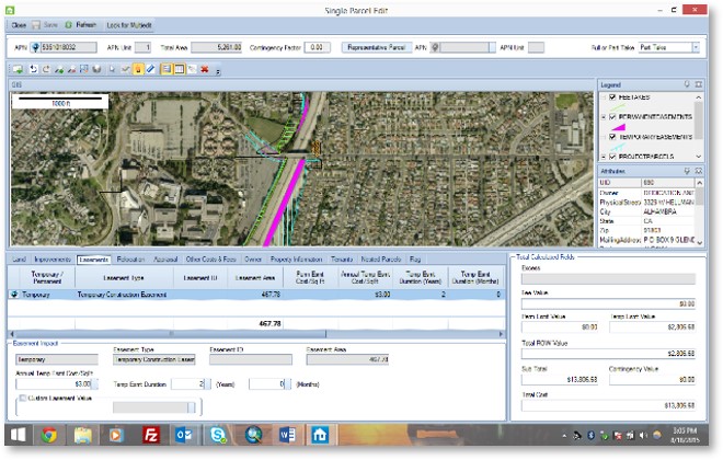
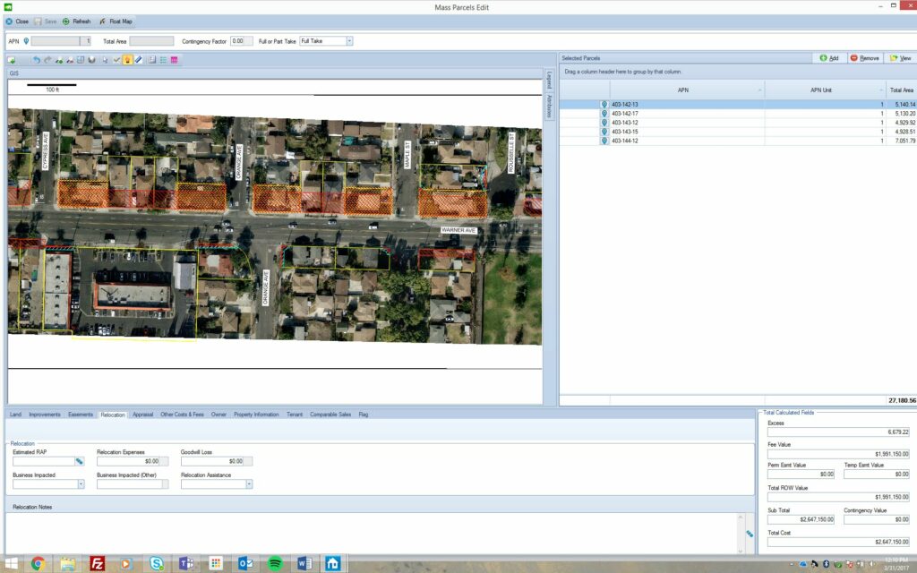
Epic Land Solutions Cost Estimator (ELSCE) was built to manage cost estimates for large, complex right of way projects. Using a GIS interface that can incorporate property ownership and profile data from city or county records and design data directly from CAD programs, ELSCE can handle a virtually unlimited number of parcels and design alternatives. Our purpose-built technology has functionality to accommodate on-the-fly changes to underlying design information without excessive rework.
Features
- Collaborative tool
- Streamlined cost estimation for large, complex projects
- Increased accuracy
- Geographic Information System (GIS) interface
- Enterprise relational database platform


